The European Theatre: August 1941
A strategic overview of the Axis expansion at the height of the initial invasion phase.
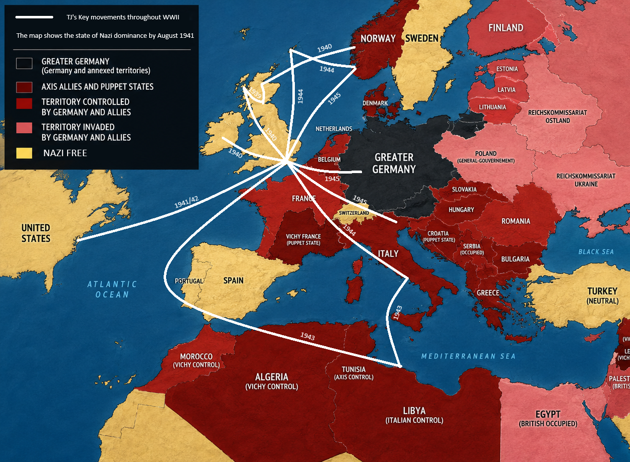
Fig 1.1: Territorial control and invasion zones, August 1941.
By August 1941, the geopolitical landscape of Europe had been radically transformed by the momentum of the Axis powers. As detailed in the map, the continent existed under a complex web of direct annexation, puppet governance, and active military occupation.
Strategic Breakdown
- The Core: The Greater German Reich maintained centralized control, serving as the anchor for all military operations across the continent.
- Axis Alignment: A vast network of puppet states and allies supported the ongoing campaigns in both the Western and Eastern fronts.
- The Eastern Front: The map highlights the Soviet Union as the primary theater of invasion, documenting the deep German penetration into the Baltic states and Ukraine.
- Occupied Regions: From the Atlantic coast to the Dnieper River, territories remained under direct German military administration or collaborationist regimes like Vichy France.
This period represented the zenith of the initial Blitzkrieg strategy. The territorial boundaries visible in the map define the immense scale of the tactical challenges faced by Allied intelligence and local resistance groups during this turning point in the war.